“Every map tells a story. And every map has a purpose—it invites us to go somewhere we’ve never been.” — Adam Shoalts
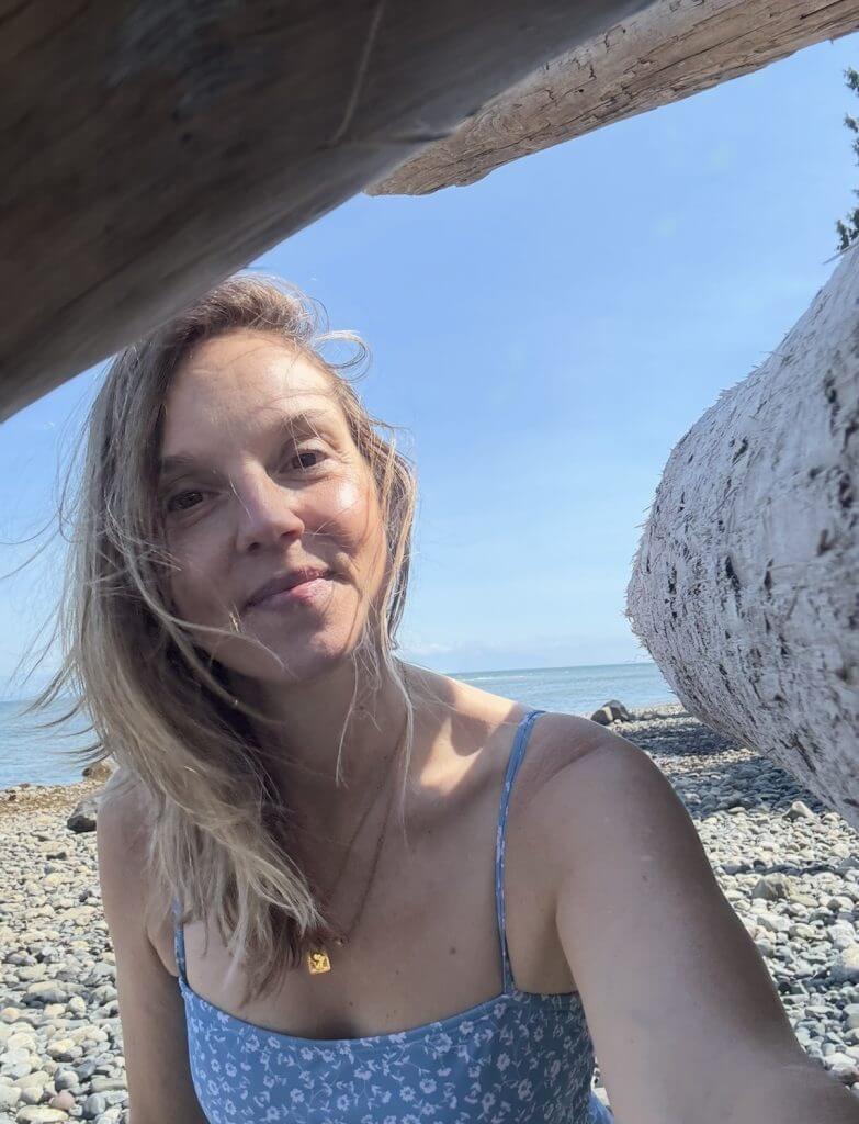
If you’ve ever stood on a quiet Vancouver Island shore, the wind threading through cedar and salt air, you’ll understand the feeling of discovery that pulses through A History of Canada in Ten Maps.
Written by Canadian explorer and historian Adam Shoalts, this book takes readers on an epic journey through time — showing how ten remarkable maps charted not only the geography of this vast country, but also the courage, ambition, and imagination of those who dared to venture into the unknown.
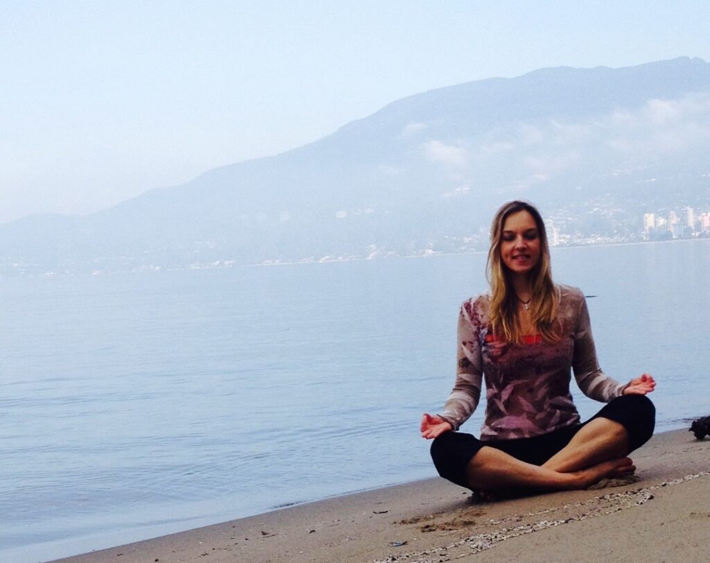
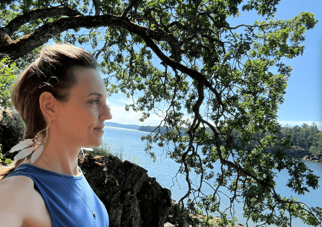
As someone who has called many countries home and now lives on an island at the edge of the Pacific, I felt deeply moved by this story of exploration. It’s a reminder that every step we take — whether across wilderness or through our own transformation — becomes part of a larger map.
The Story Behind the Maps
Shoalts’s ten maps stretch across a millennium, from early Norse voyages to the 19th-century charting of the Arctic. Each map tells its own story — of explorers, Indigenous guides, rival empires, and the relentless pull of curiosity.
1. The First Glimpses of the New World
The journey begins with the Viking sagas and medieval maps that hinted at a mysterious land across the Atlantic. Though rough and speculative, these sketches mark the first recorded attempts to map what we now call Canada.
2. The Age of Discovery and New France
In the 1600s, explorers like Samuel de Champlain relied on Indigenous knowledge to chart rivers, lakes, and coastlines. Champlain’s maps of New France reveal not just territory, but early partnerships and misunderstandings between cultures.
3. The Fur-Trade Era and the Vast Interior
As the fur trade expanded, mapmakers like David Thompson traced the labyrinth of waterways that shaped the heart of the continent. These maps tell a story of endurance — the relentless push into unknown lands driven by trade, survival, and the human desire to understand what lies beyond the horizon.
4. Into the Arctic and the Edges of Imagination
By the 1800s, explorers were venturing into the frozen North, trying to complete the picture of the world. These Arctic maps, filled with blank spaces and peril, symbolized humanity’s confrontation with the limits of knowledge.
Maps as Mirrors of Humanity
In Shoalts’s hands, maps become more than geographic records — they are reflections of human vision, bias, and courage.
Every explorer chose what to include and what to omit. Some maps exaggerated rivers or coastlines; others ignored Indigenous territories entirely. Each one was shaped by power and perspective.
And yet, taken together, they show a nation being imagined into existence. They remind us that maps are stories of courage, drawn line by uncertain line — just as every new chapter of life, leadership, or creativity begins with one brave step into the unknown.
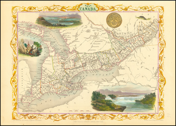
The Westward Gaze — and the Pacific Frontier
The book’s final chapters carry readers westward, where early explorers reached the rugged coastlines of British Columbia and finally laid eyes on the Pacific Ocean.
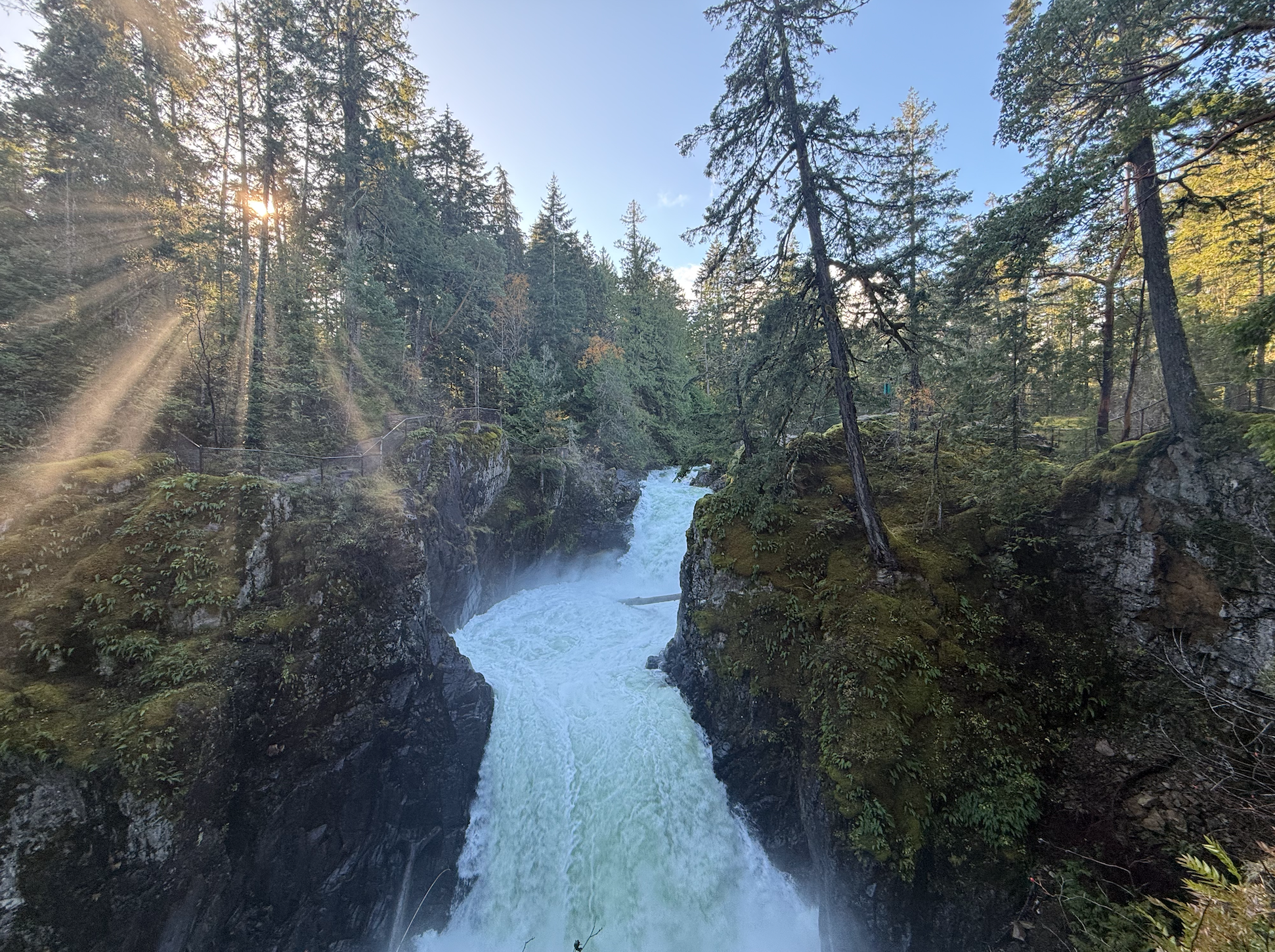
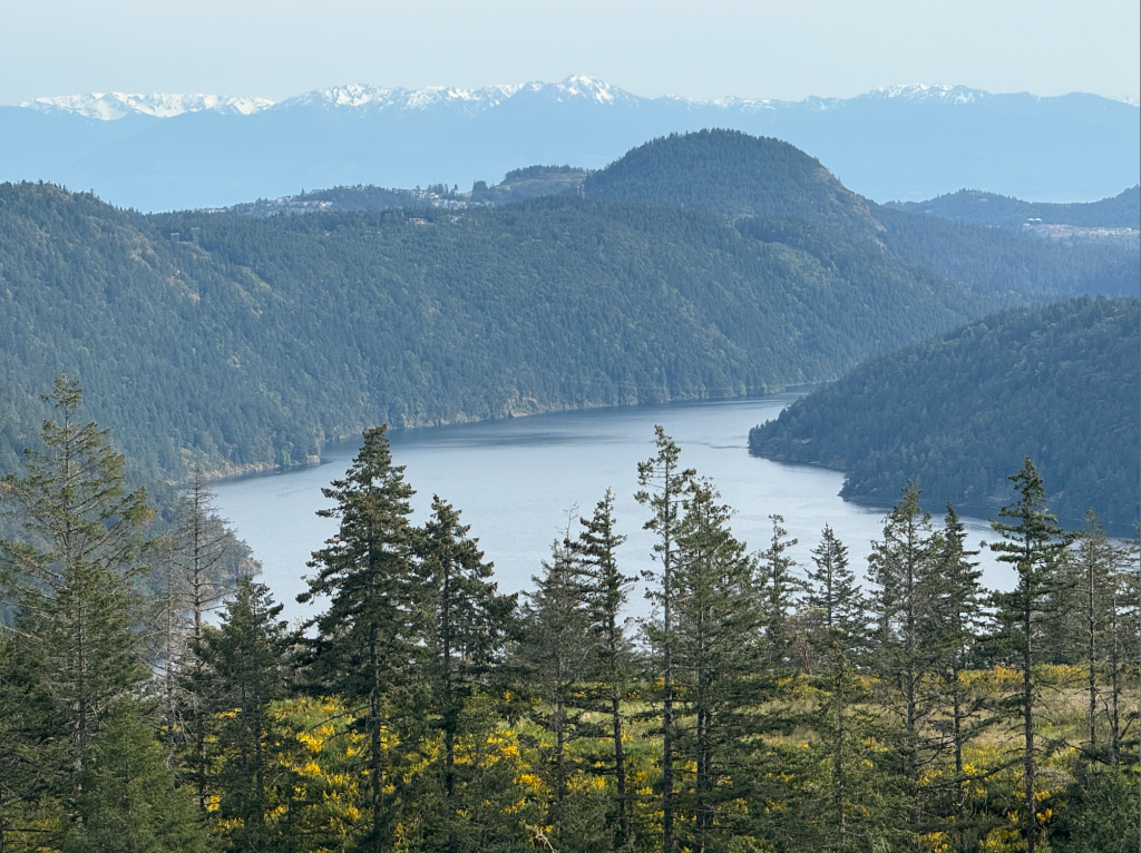
After centuries of speculation and struggle, the edge of the map was no longer myth — it was breathtakingly real. The towering cedars, vast mountain ranges, and deep fjords of the West Coast stood as a testament to nature’s power and beauty.
For those of us who live here, this moment resonates deeply. The same coastline that once marked the end of the known world now represents new beginnings — a place where people come to reconnect with nature, to build lives rooted in balance and creativity, and to rediscover stillness.
Shoalts’s description of these final discoveries feels almost spiritual. It’s as if the explorers, after traversing an entire continent, finally arrived at something beyond geography — a sense of awe that words and maps could never fully capture.
A Bridge to Vancouver Island
Standing today on Vancouver Island, I often think about those early explorers — the courage it took to venture into the wild without knowing what awaited them.
Our modern maps are precise, but our inner maps are still being drawn. We are all explorers of one kind or another: mapping our careers, our relationships, our healing, our homes.
The land beneath us holds the memory of those early journeys — from the hand-drawn lines of the first cartographers to the vibrant communities that now thrive here. Each wave that breaks along the shore reminds us: this land has always been a meeting place of discovery, resilience, and beauty.
Three Lessons from Ten Maps
Perspective shapes the map.
What we see depends on where we stand. The explorers’ maps were only partial truths — just as our own stories are. Expanding perspective brings both humility and understanding.The land tells its own story.
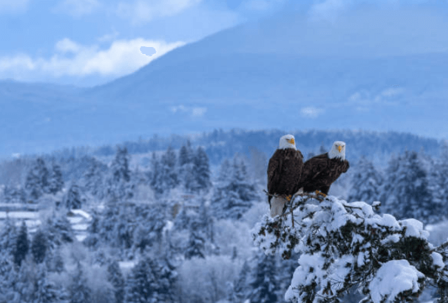
Shoalts reminds us that geography itself shapes destiny. The mountains, rivers, and forests of British Columbia continue to define how we live, move, and connect.Courage begins at the edge.
The explorers who first reached the Pacific didn’t know what lay ahead — they simply moved forward. In our own lives, courage often means the same: trusting the journey even when the map runs out.
Closing Reflection
Reading A History of Canada in Ten Maps feels like tracing the heartbeat of a nation — one that stretches from the icy North to the wild Pacific, from the first rough sketches to today’s vibrant communities.
For me, it also reaffirms why I love living here, surrounded by forests and sea. The same spirit that drove explorers westward still lives in the people of British Columbia — in those who dream, build, create, and heal.
Courage is not the absence of a blank map; it’s the willingness to draw the first lines.